
It wasn’t supposed to rain, but about 11:30pm, I heard the familiar sound on the tent. I didn’t put the tarp on when setting it up and was now debating if I should. Since I was awake, I went ahead and installed it. Now I can put it on and stake it down in a couple of minutes even in the dark. It didn’t rain much more so I would have been okay. But it’s worth the sound sleep not worrying about it.
I woke up early, but since it was a low mileage day, I was in no rush. I laid in my tent and tried to go back to sleep but to no avail. It still felt good to just relax. I heard my camp mates packing up and they weren’t in much of a hurry either. We talked about where we were headed and I got some more tips from them on the routes they took.
When leaving for my ride, I tried to explore Devil’s lake from the camp ground. But it was flooded. Many of the camp sites also were closed due to flooding.

Even though it rained at night, the whole day was excellent weather. Especially for here on the Oregon coast. it looks like I might have a run of good weather days.

I made an in route change and decided to take one of the backroads at the small town of Neskowin. When I checked the map, I saw a small tsunami trail that reconnected back to highway 101. It looked like a good way to go. What I didn’t know is, there is a tsunami sized protection hill to go over to get back to 101. But never one to retreat and backtrack, forward I went. The hill was the steepest I’ve encountered on this tour and I’ve encountered plenty of steep ones. My legs were screaming and at one point the grade was over 20%. That was a painful hill, even if short.


I surpassed the 100,000 feet of climbing today for the tour and a few days back, I passed my most consecutive days biking. A couple of trivial milestones for me.

I’m reluctant to talk about bicycling safety, because I know many people worry about it especially non bikers. I also find that 99.9% of the time people in vehicles and bicycles on the road work safely together. Having said that, I will mention a couple of my personal observations.
I’ve come to a conclusion on the most dangerous spots. They might not be what you are thinking. Most people talk about narrow roads with no shoulders. These can be intimidating and potentially dangerous, but I find most people drive more cautiously here and pass more carefully. There are two others I consider more dangerous.
1. This is more self induced and a road design danger and not caused by drivers. It’s riding on the narrow elevated sidewalks across the older built bridges. It might seem safer than riding in the road and I have been riding on them because I want to stop and take pictures. But these are very narrow especially with panniers. You have to stay away from the railing and make sure you don’t get close to the road edge. These are a one foot or more drop into traffic. There is no railing on the road side. Wind gusts on the bridges make these even trickier. Most people probably don’t think about it much even when riding on them. But the risk is very high, if you make a bike handling error.

2. This one is driver and road design related and has little to do with the bicyclists. The most dangerous spot is; uphill two lane passing sections. These are the worst, in my opinion. You would think, “there are two lanes and they can just move over”, why are they so dangerous? Here is why. They turn into a racetrack where people sometimes are competing to pass and maybe not so attentive to some schmuck riding a bicycle (although most people are careful). To make matters worse, the road designers, probably due to space limits, have made very small shoulders and often with guardrails. When the guardrail is there, you basically have to ride on the white line or worse. I’ve started “taking the lane” when I see vehicles coming, to get them to move over to the inside lane. This usually works well. Today, a logging truck never got the hint to move over, so I stopped against the guardrail until it passed. Here is another rant, I found that logging truck drivers are the worse. All the riding I’ve done on this trip and all the trucks that passed me, the three that passed too close were all logging trucks. Some RV drivers aren’t very good either.


With a shorter ride, I was able to get to the Cape Lookout state park before 3. This enabled me to setup camp, take a shower and take a walk on the beach. A first beach walk for this tour.

The Cape lookout hike/bike are fantastic. There are separate sites each with picnic tables and tent space separated by small bushes. The beach access is close by and you can see and hear it from your site. The hike/bike is separate from the rest of the campground, so flush toilets and showers are far away. They do have vault toilets close by, along with repair station, power, lockers and water. This is the most bike campers I’ve seen with at least 8 people. I see a family with a young girl. There is one hiker here as well. A very popular spot.

Tomorrow, I have to decide if I do one long 75 mile trip to Fort Steven’s or break it up by stopping at Nehalem Bay. Probably will break it up.
Ride summary: 4/10 difficulty (+1 for 2 big hills and one short very steep hill), 39 miles with 2863 feet of climbing. Some rain over night but when riding was mostly sunny. Temperature was cool at times, but warmed throughout the day. In camp it was warm enough for shorts and t-shirt. Headwinds at times , but not a factor. Today’s ride detailed GPS. Tour totals: 1745 miles (48 / day). 100,386 climbing feet.
4 responses to “Day 36 – Bicycle Touring Devil’s Lake SP to Cape Lookout SP. Pacific City, Amazing Oregon coast weather”
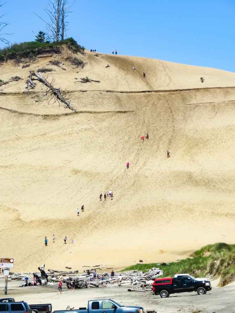
That’s a nice looking camping spot. I sure do like the dunes on the Oregon coast.
There are a lot of dunes, but the trees have grown up. you can’t see much unless you get off the main roads.
Yeah, I was noticing that about the hills. There must be a trick to taking the picture to capture the climb. Boy, that Llama sure look nice. That house on stilts looks like it would float like an ark too.
There are some trucks with hill picture taking, but it doesn’t make out look as big. It the same with waves in the ocean. They seem really big when you are there and then in the picture they look small.